Using satellite data to assess spatial drivers of bird diversity
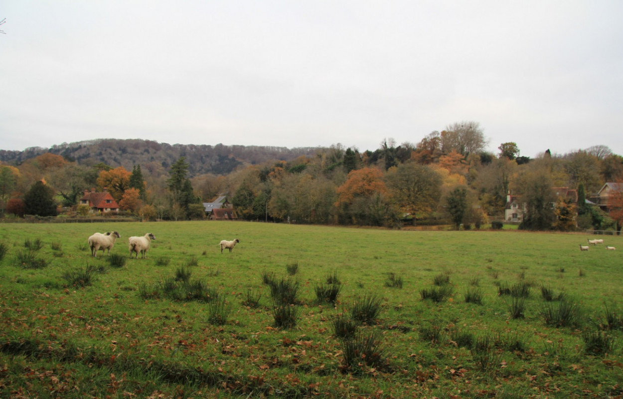
Pastoral farmland & woodland, Mike Toms/BTO

Author(s): Hunt, M.L., Blackburn, G.A., Siriwardena, G.M., Carrasco, L. & Rowland, C.S.

Published: December 2022   Pages: 17pp

Journal: Remote Sensing in Ecology and Conservation

Digital Identifier No. (DOI): 10.1002/rse2.322

View journal article

Abstract

Birds are useful indicators of overall biodiversity, which continues to decline globally, despite targets to reduce its loss. The aim of this paper is to understand the importance of different spatial drivers for modelling bird distributions. Specifically, it assesses the importance of satellite-derived measures of habitat productivity, heterogeneity and landscape structure for modelling bird diversity across Great Britain. Random forest (RF) regression is used to assess the extent to which a combination of satellite-derived covariates explain woodland and farmland bird diversity and richness. Feature contribution analysis is then applied to assess the relationships between the response variable and the covariates in the final RF models. We show that much of the variation in farmland and woodland bird distributions is explained (R2 0.64–0.77) using monthly habitat-specific productivity values and landscape structure (FRAGSTATS) metrics. The analysis highlights important spatial drivers of bird species richness and diversity, including high productivity grassland during spring for farmland birds and woodland patch edge length for woodland birds. The feature contribution provides insight into the form of the relationship between the spatial drivers and bird richness and diversity, including when a particular spatial driver affects bird richness positively or negatively. For example, for woodland bird diversity, the May 80th percentile Normalized Difference Vegetation Index (NDVI) for broadleaved woodland has a strong positive effect on bird richness when NDVI is >0.7 and a strong negative effect below. If relationships such as these are stable over time, they offer a useful analytical tool for understanding and comparing the influence of different spatial drivers.

Notes

Landsat data courtesy of US Geological Survey. The authors are thankful to all the volunteers and professional ecologists who collected bird, habitat and vegetation data in Countryside Survey (CS) and to CEH and BTO staff who co-ordinated the survey and data collation.

MH was funded by Lancaster University through a Lancaster Environment Centre PhD Studentship as part of the Graduate School for the Environment. CR, LC and MH were funded by the UK Natural Environment Research Council (NERC) National Capability award NE/N018125/1 ASSIST—Achieving Sustainable Agricultural Systems www.assist.ceh.ac.uk. ASSIST is an initiative jointly supported by NERC and the Biotechnology and Biological Sciences Research Council (BBSRC).

Staff Author(s)


Related content